Difficulty: Class 2 Difficult
Exposure: Some along ridge
Summit Elevation: 14,014 feet
Elevation Gain: 4300’ from TH; 3200’ from camp at 11,000’
Round trip: 12 miles from TH; 5 miles from camp
Trailhead: South Colony Lakes
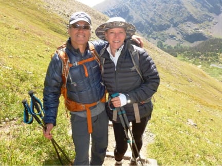
Climbers: Rick Crandall, Rick Peckham and Donna Slade August 21, 2017
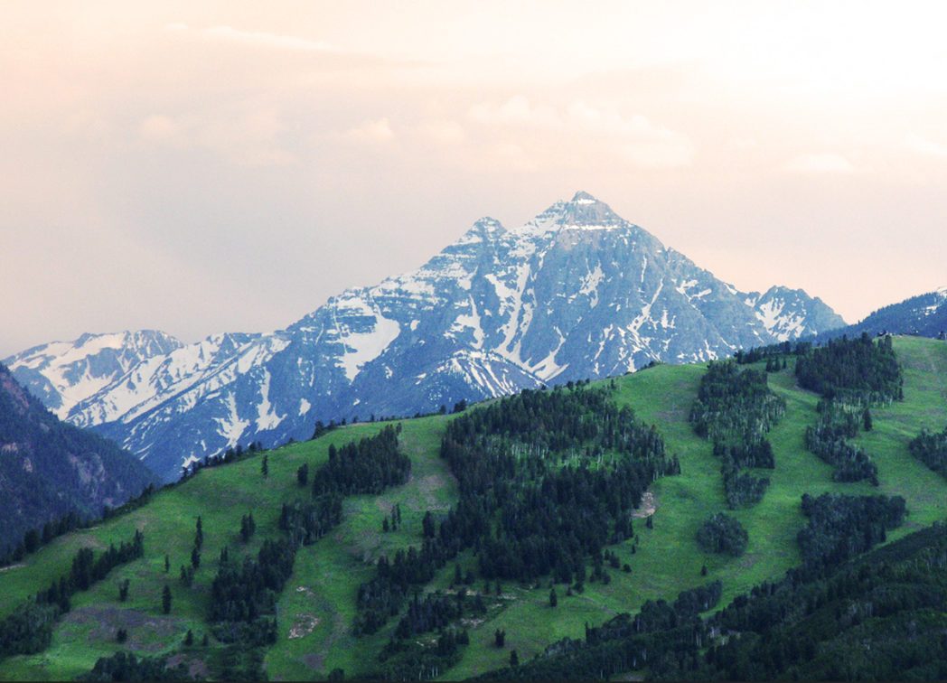
Humboldt Peak is nestled in the rugged Sangre de Cristo Range. The 14,064-foot mountain is named for Alexander von Humboldt, a famed German geographer and explorer in the early 1800s. Although Von Humboldt was an expert in western U.S. plate tectonics, but he never visited his namesake mountain.
First climbed by a surveyor in 1883, summiting Humboldt Peak is a moderate climb up its West Ridge from South Colony Lakes, although I wouldn’t recommend it as a very first 14er experience as there is a bit of scrambling and some exposure.
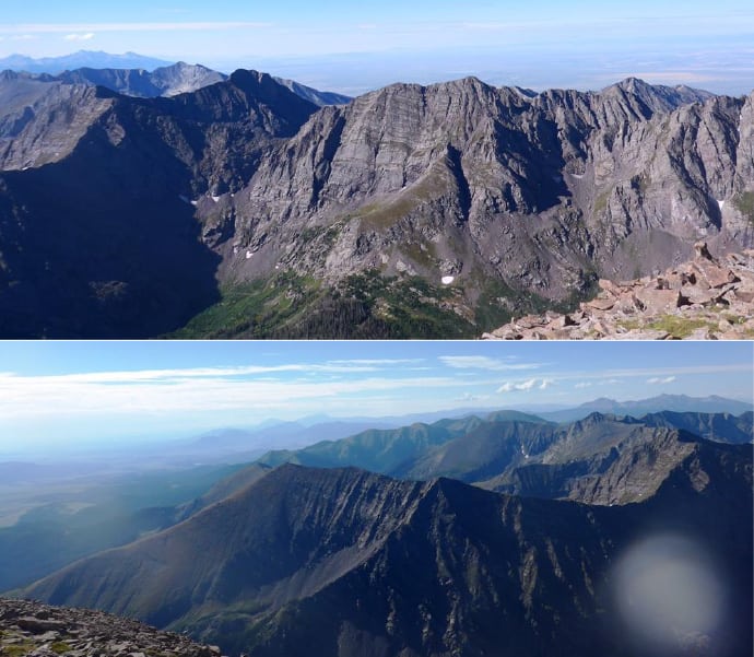
Camping, climbing and summiting the peak offer stunning views across the valley of Crestone Peak and Crestone Needle, two of Colorado’s hardest Fourteeners, and Kit Carson Peak.
The Sangre de Cristos are a fantastic stretch of mountains that starts where the big and bulky Sawatch Range ends, just south of Salida, Colorado. Continuing south for 220 miles into New Mexico, the Sangre’s host some of Colorado’s more adventurous climbing.
I’ve been trying to get back on the 14er trail in this summer of 2017, but due to unusual weather patterns, daily thunderstorms plagued the high Rockies for six straight weeks. We planned and hoped to go for one on eclipse day, but as that day drew closer, the forecast deteriorated again including in the 5am NOAA report for the Sangres on Sunday, Aug 20. I figured we needed to leave Aspen at 9:30am for the southern part of the state, but I called it off.
Magic!
Then with some kind of magical intuition, at 11am my wife Pamela saw my down face and said, “surely there’s somewhere in the state you can climb.” She asked what town was near Humboldt Peak, and I answered Crestone but just looking at town weather doesn’t tell you about what will happen up high. She started looking up Crestone weather anyway so I re-looked at the NOAA weather detail. Amazingly, they changed their forecast dramatically since 5am, now forecasting a delay in the next round of thunderstorms to later Monday afternoon.
“Call your friends NOW, and get going.” Said she.
I wondered if we could really kit up and go fast enough to get all the way to camp before dark.
We went for it. We managed to get packed up and in the car by 12:30pm. Our group consisted of me, Rick Peckham, my Alaska-based climbing buddy, and friend Donna Slade who wanted to do her third 14er even though she hadn’t camped out before.
Backpacking to Camp
So on Sunday (August 20) we drove 3 ½ hours south past Westcliffe to the South Colony Road upper trailhead (rough 4WD with a high-clearance vehicle needed) and backpacked 3 ¾ miles and 1000’ up to camp just under lower South Colony Lake.
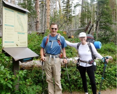
Rick and Donna at trailhead at 4pm …
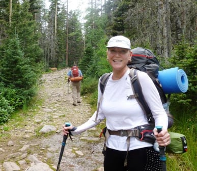
… and backpacking the 3 ¾ miles and 1000’ up with full packs for camping.
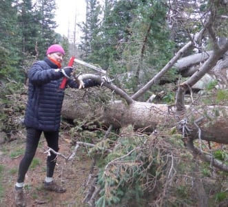
We found a campsite at 11,000’ by 7pm which gave us an hour of light to set up camp, hang our food bag in the trees, fetch filtered water and cut wood to get the fire going.
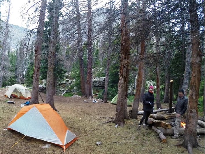
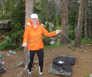
Camp all set up, great site, great views, perfect weather and fire going – all before dark!
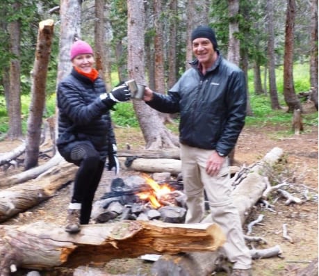
We kid her, but Donna was a great sport – and richly deserved the toast of Pinot Noir Rick and I always bring for our dehydrated spaghetti and meat balls dinner 🙂
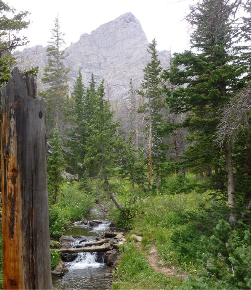
And what a campsite it was! We had a running stream nearby, an impressive 14er, Crestone Needle, in the background … and no wind, no rain, all good!
The Climb
Our mission the next day was to summit Humboldt Peak. We had searched everywhere in the prior days for the ISO-rated sunglasses for eclipse-watching, but we’d found none, so we just wanted to experience what a 90% solar eclipse felt like out in the wild. We also wanted a cool answer to the question: “where were you during the great eclipse?” “Oh, we were on a 14er!”. The targeted peak of the eclipse was to be about 11:48am where we were. Given the weather forecast, we didn’t want to stretch our luck to stay on summit that long, so we decided to start early – awake at 4am and on the trail at 4:30am. Good thing we did.
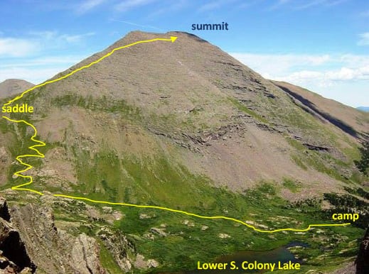
The climb consisted of hiking up to and around lower South Colony Lake (at about 11,300’) and across to switchbacks up to a 12,800’ saddle. From there it would get rocky and some exposed ridge hiking, past a false summit to the real summit, 3000’ of vertical and about 2 ½ miles.
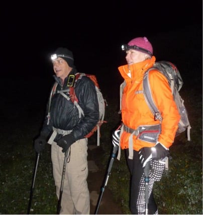
We got started right on time, 4:30am in the dark – and it was really dark – no moon at all.
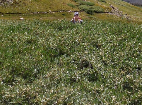
We ran into a problem in the first 20 minutes. We didn’t know it but there were several old trails around the Lake, and nothing was obvious in such darkness. We continued on a trail with the Lake on our left and quickly got into bushwhacking really tough willows. Anyone who has come in contact with these willows knows what I’m describing – their branches are ½” diameter, tough, curly and gnarly – they grab you and they don’t let go. We were chest high in them, the photo below shows Rick P. in them on the way back when it was lighter, earlier it was total dark still. We guessed we were too low and wouldn’t hit the switchbacks so
Rick P. tried bushwhacking straight uphill. The willows just busted him after a while – they even untied the laces on his boots!
So we retraced our path and by 5am found the correct upper trail, still in darkness, and up we went.
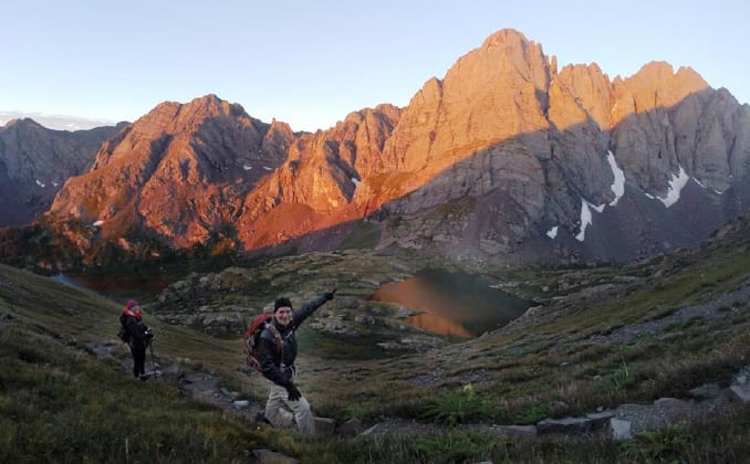
As we approached the switchbacks, the sun began to rise – at first just lighting up the nearby Crestones – ( Broken Hand Peak on the left, Broken Hand Pass in the middle, Crestone Needle in the foreground and Crestone Peak to the right. An impressive sight indeed. See our climbs of those hard 14ers at: www.rickcrandall.net/crestone-peak and www.rickcrandall.net/crestone-needle-a-hard-fourteener
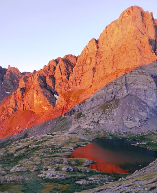
The scenery was so impressive, it deserves another photo – this with Crestone Needle glowing with morning alpenglow and reflected in upper South Colony Lake below.
Daylight came, with some clouds in the sky, but not the threatening kind yet, so we were cautiously optimistic. After all, a forecast is just a forecast and while it was calling for a good morning, it was also calling for that to be over some time in the afternoon.
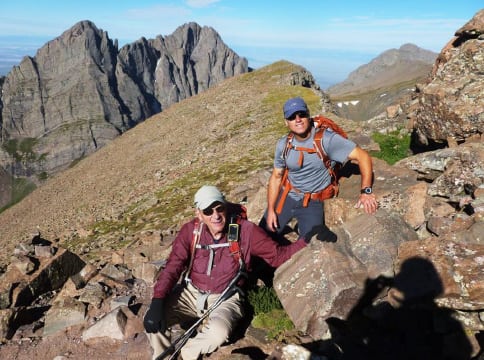
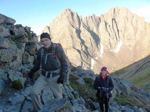
Here I am with Rick P. as we approached the “crux” of the climb, some rock scrambling.
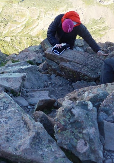
Donna followed bravely …
… but in truth she confirmed later, some of the hands-and-feet rock scrambling she found worrying – but she did it.
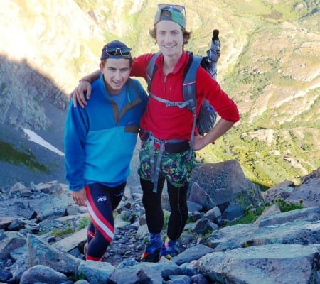
As we headed up the rocks we ran into some fun guys. They were young, enthusiastic, dressed for whatever, and went right up the wrong side of the next leg to the false summit, but with the great enthusiasm of youth.
They got through it fine, but worked harder than necessary.
NOTE to climbers – when you head up towards the false summit, look for cairns on the RIGHT – much better way. There are also a few cairns on the left, ignore them.
After bypassing the false summit, it’s another short pile of rocks to the real summit and …
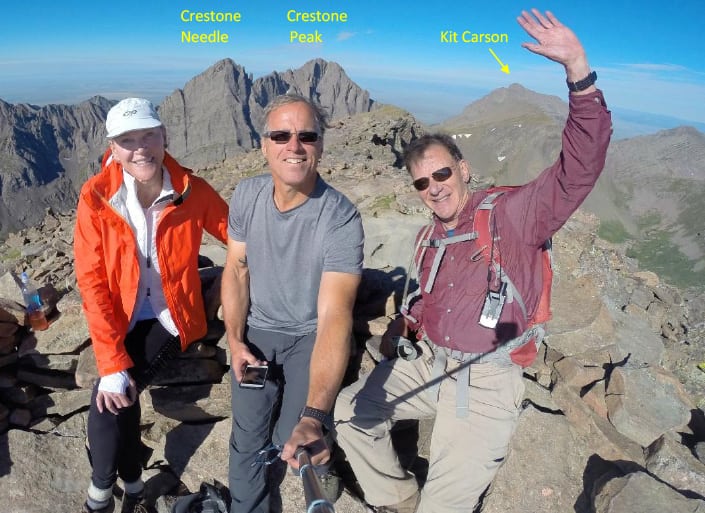
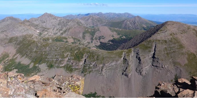
Summit Humboldt Peak at 14,064’, 9:00 am Monday, August 21, 2017, 4 ½ hours from Camp including getting lost. Three great 14ers are in the background.
The views were tremendous from summit – 360 degrees. And the weather still looking good but with a few very early convective cloud puffs over a few of the distant peaks – as a warning.
The Eclipse
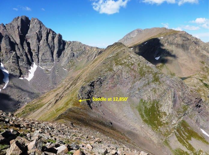
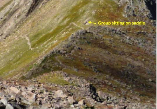
Well it was only 9am. I didn’t want to risk staying at summit until 11:48am. I figured all the more difficult parts of the climb were between summit and the saddle 1000’ down, so that seemed a better stopping place. If the weather came in fast, we’d be able to run down the switchbacks. When we looked down to the saddle we saw some folks already sitting there, presumably they hiked up just to view from there. So we headed down.
When we got down to the saddle, the group turned out to be really interesting …
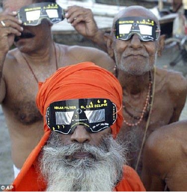
NAH, we just stupidly got so excited about the eclipse we forgot to take a picture of the super-nice group – who were very generous and shared their special glasses.
This is a random photo I got from the internet. The actual group was a family from Denver, the dad had a telescope, binoculars and several glasses. Imagine that – we couldn’t find them anywhere commercially, but we found them on a 13,000’ saddle in the middle of nowhere!
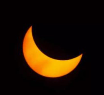
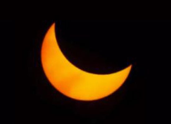
We got to see our eclipse – tried taking a photo through the glasses, but that didn’t work out. However this photo is representative of what we saw at not even its fullest for our position. This was at about 70%. It was impressive.
After a while of viewing we thought it best to make progress down. At about midway down the switchbacks it was obviously getting to the peak 11:48am mark (90%). The lighting got weird – somewhat like end-of-day when the sun gets really low – and it got cold! We had to put clothing layers back on – and then 15 minutes later it started warming again.
So that was our 14er solar-eclipse experience – not as dramatic as a full eclipse, but definitely a novel location.
Here Rick P. and Donna are on the switchbacks with the sun re-appearing more fully. We were about to start peeling layers off.
Rick Peckham has done many of these 14ers with me, which is what happens on these mountain adventures. Friendships are forged from shared experiences, common trust and cooperative problem solving. You can find many examples of this in the various climb stories on www.rickcrandall.net
Here is our full GPS track down, from summit to saddle to camp and back out to the car.
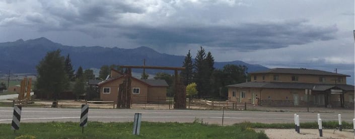
We got to the car at 4pm. We drove out to Westcliffe, maybe 30 minutes from trailhead, and looked back at the mountains – look what’s going on!! And it got worse, rain drops the size of half dollars pounding our windshield, and lightning all around us with tremendous thunder cracks. That would have been no fun at all either on that saddle or packing up camp!
We had an awesome summit, great weather and on an historic day. Many thanks to great friends, a welcoming mountain and to Pamela for encouraging us to take the chance!
Climber notes:
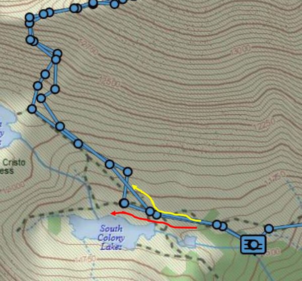
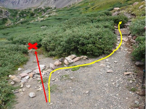
If you’re starting out in the dark for Humboldt, take a look below. Somehow in the dark we missed a fork that looks very obvious in the daylight. We took the path in red heading around the lake. We should have taken the path in yellow – we backtracked and found it.
In daylight the fork looks like this. Go right!
