Difficulty: Class 2
Exposure: None
Summit: 14,196 feet
Elevation Gain: 4,300 feet
Roundtrip: 8.00 miles
Trailhead: Denny Creek at 9,900’
Climbers: Brett Crandall and Amos; Rick Crandall and Emme September 11, 2007
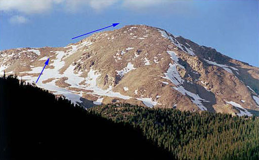
Upper portion of the route to Yale Mountain peak seen from County Road 306
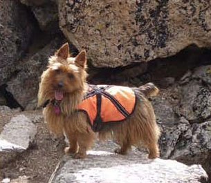
Rick and son Brett left Aspen at 4am with Emme the Australian Terrier mountain-hiker dog and Amos, Brett’s dog. We drove over Independence Pass to the center of Buena Vista, and got onto County 306 road towards Cottonwood Pass. We drove 12 miles on this “road” to reach the Denny Creek Trailhead still completely in the dark.
We had enough ambient light to start the hike with no headlamps. Soon we saw the sunrise which was warming.
From 11,300′ to 11,900′, we hiked northeast and then east through the forest. We left the trees at 12,000′ and continued east as the trail approached a large shoulder. Once on the shoulder, the trail turned northeast toward Yale’s upper west slopes. The remainder of the route was then visible.
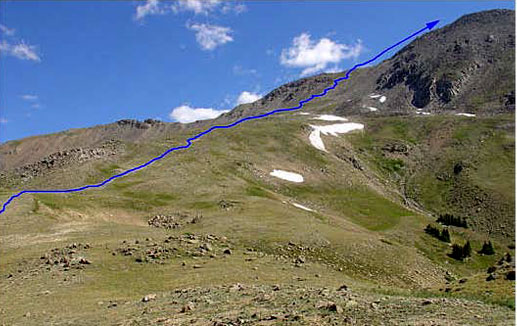
Near 12,100’ about halfway up, viewing the remaining hike to the summit ridge.
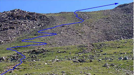
At 13,000’ just about to start up the switchbacks of the steep approach slope.
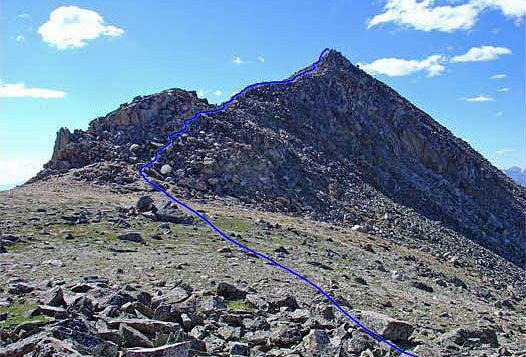
The summit ridge seen from 13,900’ on the saddle. The summit is not yet visible.
The last 1.5 miles to the summit is steep and slow going.
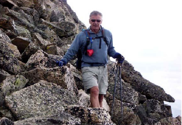
Rick about to start the rock climbing on the summit ridge.
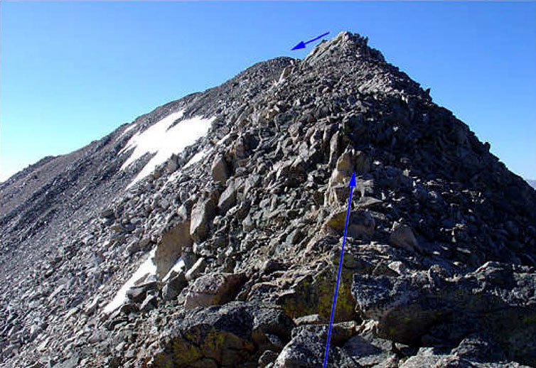
Near 13,200′, we began the steep climb up the slope to the summit. Cranked steeply up 700′ of elevation gain to reach the saddle at the top of the slope (13,900′) where the trail quickly disappeared. We scrambled along the ridge crest by working along either side of the ridge.
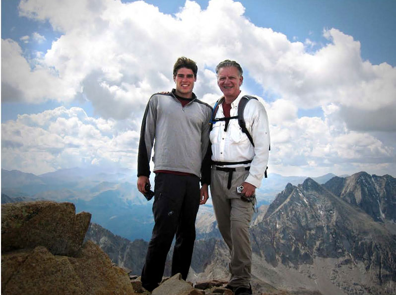
Brett and Rick at the summit.
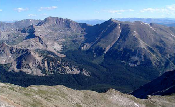
On the summit, looking north to Mt. Harvard and Mt. Columbia (right) also 14ers.
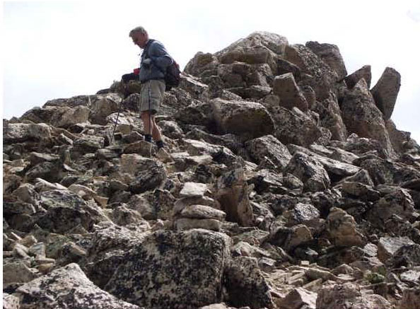
Rick heading down, just feet from the summit above on the right
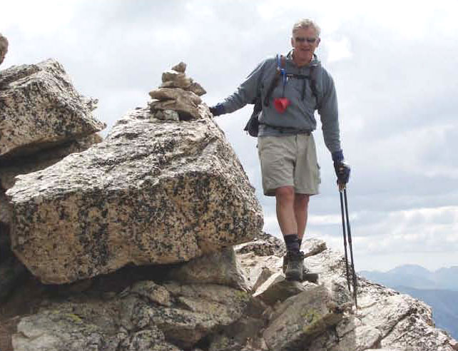
Passing a “cairn” – a pile of rocks used to show the way when no route is visible.
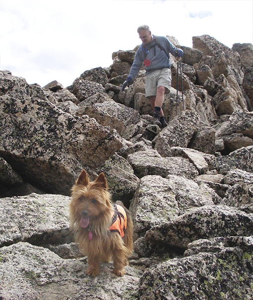
Emme is quite happy to lead the way – up and down. Aussies love climbing – Emme showed time and again if she couldn’t find a way over a boulder, she’d find a way around it.
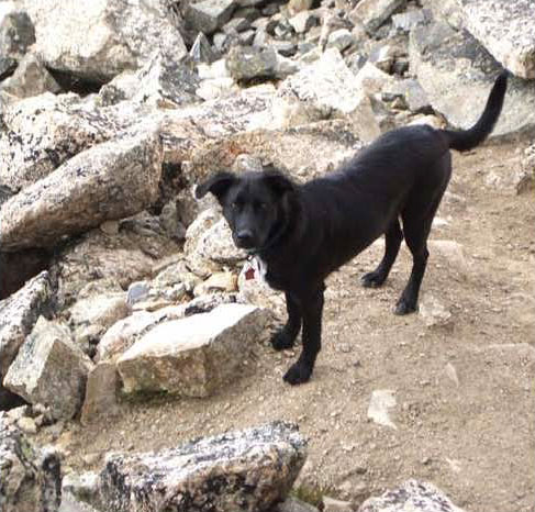
Amos is a hiker too!
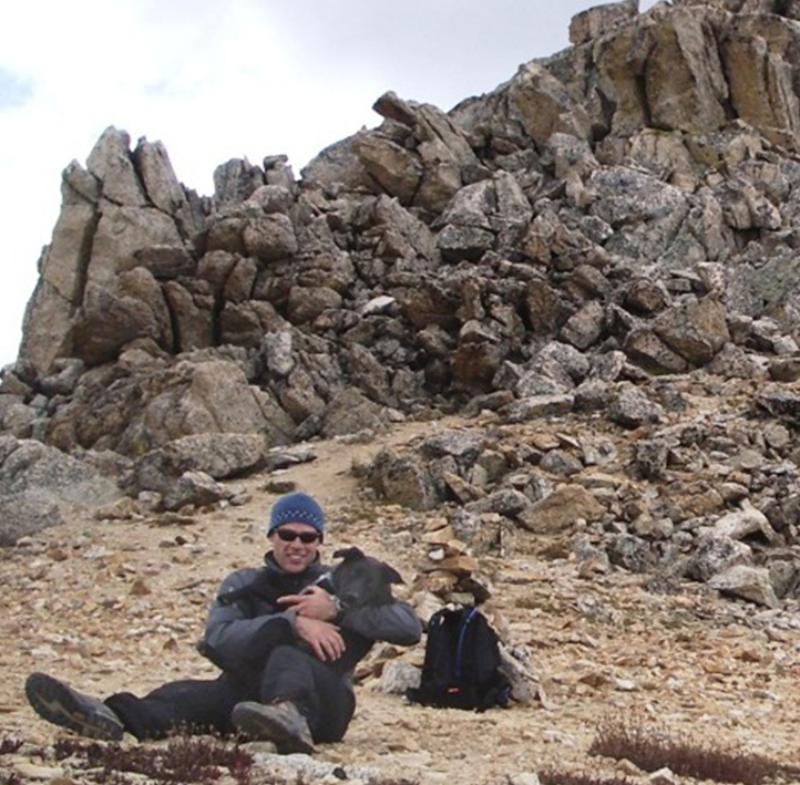
Brett and Amos (below) – just down from the summit ridge.
